

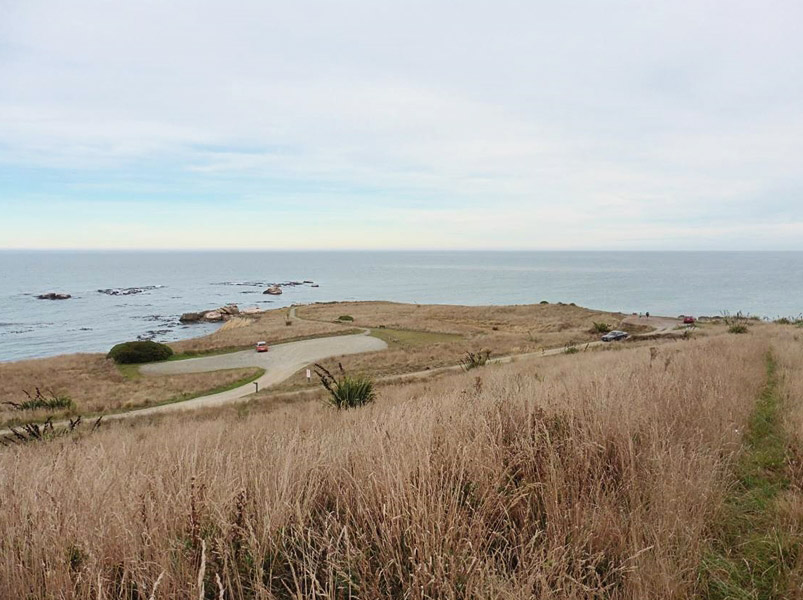
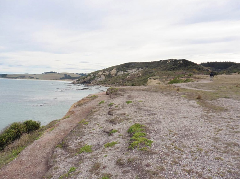
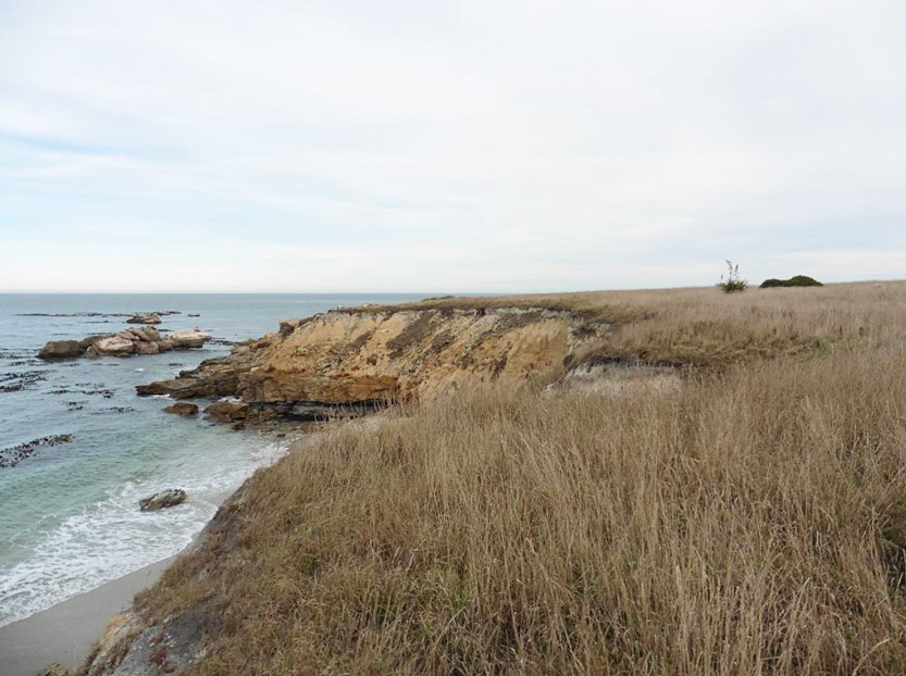
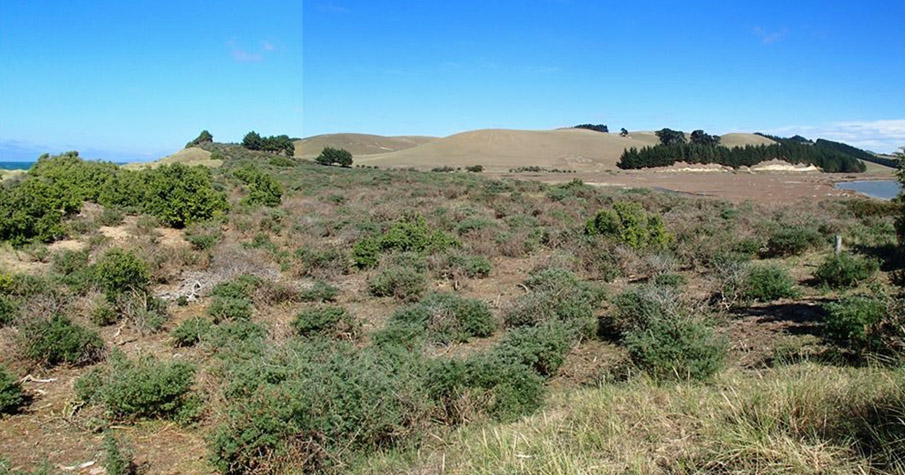
This extensive occupation site, probably used as a temporary camp site during periods of the fifteenth to eighteenth centuries, Matakaea has archaeological, scientific and cultural significance. It provides insight into the lifestyles of the small groups who lived at Matakaea/Shag Point, making use of the abundant resource, seal hunting and fishing. Some of the earliest traditional accounts associated with human inhabitation of the lower South Island are connected to the voyaging waka named Arai-Te-Uru. On its return to the South Island, the Arai-Te-Uru encountered a fierce storm, and according to historian J. Herries Beattie's retelling, the crew member named Moko-tere-a-tarehu was lost overboard at the mouth of the Waitaki River. The canoe was blown further down the east coast of the South Island, and after losing much of its cargo of kumara at the beach known as Kai-hinaki (near Moeraki), the waka was wrecked at Matakaea (Shag Point) where it lies petrified in the landscape. Both iwi history and archaeological evidence show occupation by Māori in the area over an extended period, with the inhabitants using a wide variety of natural resources from the diverse environment. The date of earliest Polynesian settlement of the Waitaki area remains unknown, but is generally thought to date from at least 1,000 years ago. There was extensive settlement throughout the Waitaki Valley when the moa existed, as shown in the widespread archaeological remains of moa bones in cultural contexts. The site was both damaged and revealed in the 1950s when a ‘large amount of turf and soil’ was removed and transplanted onto bowling greens and tennis courts. Archaeologist Michael Trotter recovered some artefacts and made several ‘day excavations’ between 1954 and 1957 and in 1964-65 directed an excavation by the North Otago Scientific and Historical Society. Trotter hoped to determine at what stage in the ‘local cultural sequence’ the site was occupied. He concluded that because of the lack of stratigraphical differentiation and the general typological similarity of artefacts’ that the ‘occupational remains from this site may be considered to be from a single period of habitation.’ He concluded that the assemblage had characteristics of both late occupation and Moa-hunter periods – perhaps indicating an intermediate period of occupation. He concluded that ‘the inhabitants of the site were largely occupied in food gathering and preparation, fish-hook manufacture, and abrader manufacture, the latter doubtless for trade purposes. They were familiar with local stone resources and had access to moa bone and non-local stone materials for artefact manufacture. The site was probably not occupied for any great length of time, and, on the basis of comparison with other sites, the radiocarbon age, and the lack of extinct bird remains, the date of occupation appears to have been mid-sixteenth century A.D.’ Radiocarbon dates give an occupation date of early fifteenth to early sixteenth century for the southern midden and mid sixteenth to eighteenth century for the northern midden. The site was then excavated by Marshall Weisler as part of the University of Otago Field School in 1998 and 2000. Weisler interprets these areas as representing ‘repeated short visits by small groups of people, a pattern appropriate to fishing camps to catch barracouta and red cod,’ although other species may have been important. The southern midden shows a focus on fishing, while the northern midden shows fur seal consumption. The artefact assemblage is dominated by two-piece bait-hook points, while the second group of artefacts is made up of wood-working tools, including adzes and chisels of nephrite and basalt. Archaeologist Jill Hamel writes that these sites provide a ‘useful sequence to compare against the very much larger Shag River Mouth site.’ Hamel writes that analysis of material from this site could show changes in life style from villages dependent on moa and seal meat, to living in smaller groups, fishing on coastal sites such as Matakaea. Weisler writes that the obsidian flakes, greenstone cutting tools, and orthoquartzite blades from the habitation areas point to the ‘maintenance of kin-based exchange networks throughout the occupation.’ In 2016, the Matakaea/Shag Point Occupation Site is within the recreation reserve, a place visited by many people attracted by the wildlife and scenic beauty of the area.
Location
List Entry Information
Overview
Detailed List Entry
Status
Listed
List Entry Status
Historic Place Category 2
Access
Able to Visit
List Number
5702
Date Entered
3rd March 1985
Date of Effect
3rd March 1985
City/District Council
Waitaki District
Region
Otago Region
Extent of List Entry
Extent includes part of the land described as Pt Sec 98 BLK III Moeraki SD (RT OT18C/114), Otago Land District. Refer to the extent map tabled at the Rārangi Kōrero Committee meeting on 8 March 2018.
Legal description
Pt Sec 98 BLK III Moeraki SD (RT OT18C/114), Otago Land District
Stay up to date with Heritage this month
