Pleasant Terrace Workings near Skippers in the Wakatipu district is an outstanding gold mining site which shows the impressive scale of nineteenth and early twentieth century workings in this area. For over fifty years miners on Pleasant Terrace at Skippers lived and worked – building races and dams to provide water for ground and hydraulic sluicing, built huts and houses nearby, and worked their claims. The remains of their efforts are written on this isolated and spectacular landscape. The ways the miners worked and lived make up an enclosed system which tells us about the lives and work of miners.
Miners rushed to the Shotover River in 1862 when gold was discovered on the river banks and on the river terraces. The Shotover was the richest goldfield in the country, and second internationally only to the Yukon. On Pleasant Terrace, the potential wealth was illustrated by a nineteenth century dispute where the cost of a legal dispute between Grace and Eager over an encroached claim ran to thousands of dollars.
Pleasant Terrace was one of a series of terraces above the river which were mined for gold, first by ground sluicing and then by hydraulic sluicing. These miners established their homes near their claims, and built races and dams to bring water to the working faces. Pleasant Terrace was worked from the 1860s through to the First World War when mining was abandoned in the area. There was a revival of mining on the Shotover during the 1930s Depression and intermittent mining in the river during the twentieth century.
Pleasant Terrace illustrates the mining technologies and domestic lives of nineteenth and early twentieth century gold miners. It is, as archaeologist Kevin Jones writes, ‘a unit that includes supply races, dams/reservoirs, head races, working faces and tail races; and to include their relationship with the Shotover River and surrounding mountains.’ All these features are present and relatively intact on Pleasant Terrace and illustrate the lives of those hardy miners who lived and worked there – including those whose names are still known through surviving features – Richard Johnson’s dam and workings, and Egbert Sainsbury’s house. The spectacular sluicing face illustrates the scale and sheer effort of miners in this unforgiving landscape.
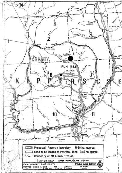
In 2013 Pleasant Terrace is part of Mount Aurum Recreation Reserve administered by the Department of Conservation.
Miners rushed to the Shotover River in 1862 when gold was discovered on the river banks and on the river terraces. The Shotover was the richest goldfield in the country, and second internationally only to the Yukon. On Pleasant Terrace, the potential wealth was illustrated by a nineteenth century dispute where the cost of a legal dispute between Grace and Eager over an encroached claim ran to thousands of dollars.
Pleasant Terrace was one of a series of terraces above the river which were mined for gold, first by ground sluicing and then by hydraulic sluicing. These miners established their homes near their claims, and built races and dams to bring water to the working faces. Pleasant Terrace was worked from the 1860s through to the First World War when mining was abandoned in the area. There was a revival of mining on the Shotover during the 1930s Depression and intermittent mining in the river during the twentieth century.
Pleasant Terrace illustrates the mining technologies and domestic lives of nineteenth and early twentieth century gold miners. It is, as archaeologist Kevin Jones writes, ‘a unit that includes supply races, dams/reservoirs, head races, working faces and tail races; and to include their relationship with the Shotover River and surrounding mountains.’ All these features are present and relatively intact on Pleasant Terrace and illustrate the lives of those hardy miners who lived and worked there – including those whose names are still known through surviving features – Richard Johnson’s dam and workings, and Egbert Sainsbury’s house. The spectacular sluicing face illustrates the scale and sheer effort of miners in this unforgiving landscape.
In 2013 Pleasant Terrace is part of Mount Aurum Recreation Reserve administered by the Department of Conservation.
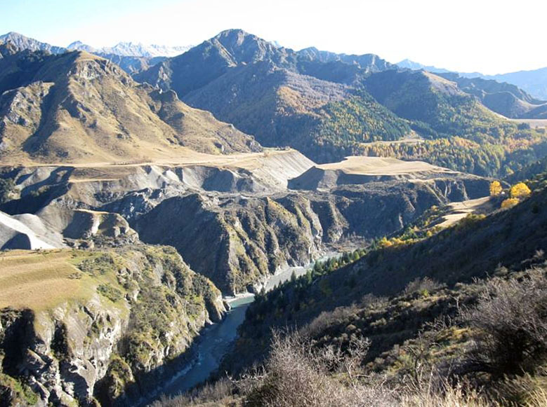
Pleasant Terrace Workings. Pleasant Terrace from the east bank of the Shotover River. Image courtesy of Department of Conservation | Shar Briden | 26/04/2011 | Crown
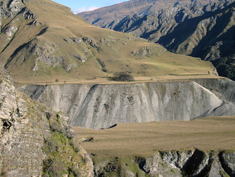
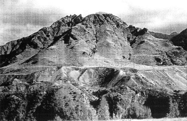
Pleasant Terrace Workings. Hydraulic sluicing face with dams against hillside. Image courtesy of Department of Conservation | Shar Briden | 26/04/2011 | Crown
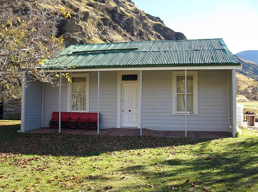
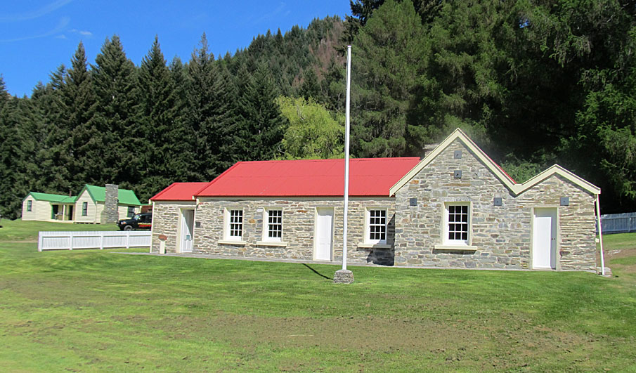
Pleasant Terrace Workings. House. Thought to be Robert Johnson’s former residence, also known as Sainsbury’s House, after Egbert Sainsbury, resident from circa 1919 to 1956. Image courtesy of Department of Conservation | Shar Briden | 26/04/2011 | Crown
Pleasant Terrace Workings. Pleasant Terrace from the east bank of the Shotover River. Image courtesy of Department of Conservation | Shar Briden | 26/04/2011 | Crown
Pleasant Terrace Workings. Hydraulic sluicing face with dams against hillside. Image courtesy of Department of Conservation | Shar Briden | 26/04/2011 | Crown
Pleasant Terrace Workings. House. Thought to be Robert Johnson’s former residence, also known as Sainsbury’s House, after Egbert Sainsbury, resident from circa 1919 to 1956. Image courtesy of Department of Conservation | Shar Briden | 26/04/2011 | Crown