

On June 29, 1904 engineer W.H. Hamer submitted a report to the Harbour Board. The plan recommended the construction of a series of wharfs to be built from the Quay St front and involved the reclamation of large areas of land. The wharfs were standardised, being constructed of reinforced concrete, and they had sheds on either side of the roadway with provision made on the Quay sides for railways.
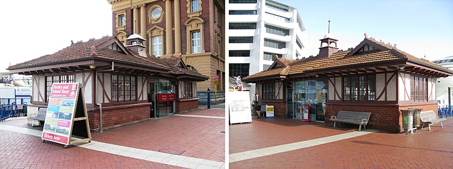
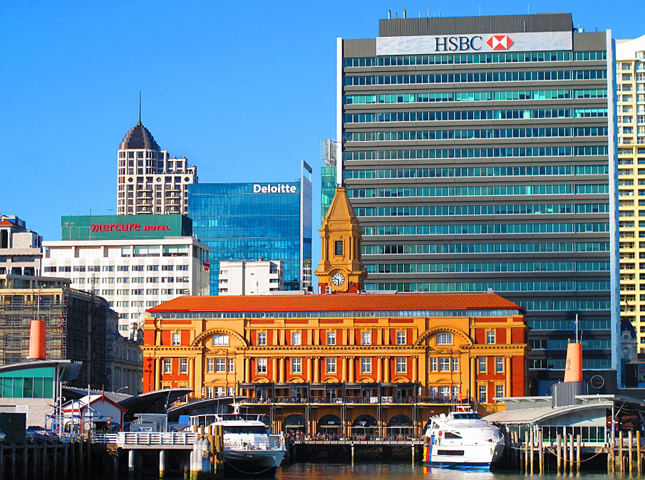
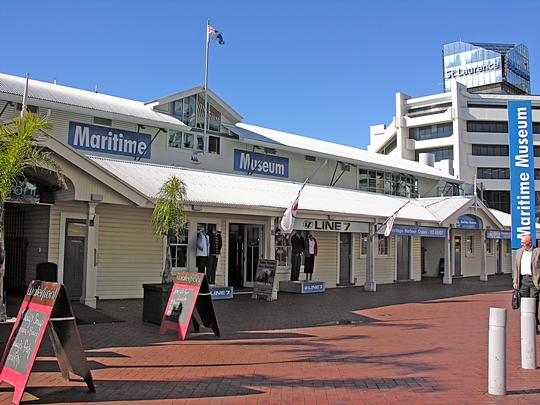
The Queen St wharf was the first to be undertaken in the scheme and was in use by 1911 with the Ferry Building being opened the following year. In 1914 the Board began the reclamation of Quay St to the west of the Ferry Building, filling in the Auckland Graving Dock. Construction of landings, steps and shelter sheds was also begun. Despite difficulties caused by the outbreak of war and the 1915 strike which caused work to come to a complete standstill (28 Oct - 8 Nov), the largest of the remaining works were completed.
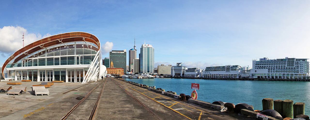
The Hamer plan development culminated in the opening of Princes Wharf on the 12 May 1924 by the Governor General Viscount Jellicoe. The opening also marked W.H. Hamer's retirement as Harbour Board engineer. The Hamer Plan increased shipping berthage and storage accommodation as is found in the monolithic structures of Princes and Queens Wharfs.
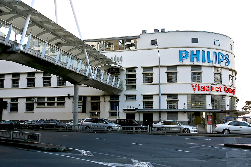
The use of rail along Quay St has also played an important part in the area history. One of the few areas in the world to have goods trains travelling in the same street as vehicular traffic, the proposal to connect Princes Wharf to the rail system caused public controversy over the dangerous and unnecessary length of the rail link. The train tracks were all removed from Quay St in 1988.


List Entry Information
Status
Listed
List Entry Status
Historic Area
Access
Able to Visit
List Number
7158
Date Entered
16th December 1994
Date of Effect
16th December 1994
City/District Council
Auckland Council
Region
Auckland Council
Extent of List Entry
This area is comprised of buildings and structures constructed for the Auckland Harbour Board following the Hamer Plan of 1904.
Location Description
The Port Building was demolished in the 1990s.
Why is this place significant?
Historic Significance
Historical Significance or Value Historical: This area has important historic associations with the development of Auckland's harbour and commercial centre at the turn of the century. The wharf, ferry terminal and railway links demonstrate the port's major role in early twentieth Century transportation, communication and trade.
Physical Significance
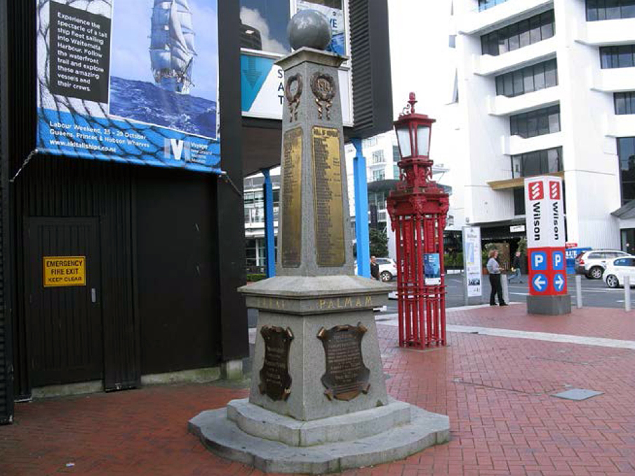
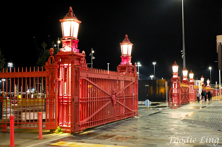
Architectural: The 1904 Plan by engineer W.H. Hamer was very influential in shaping the look of the Auckland waterfront. The development proposal was adhered to and systematically carved out by the Auckland Harbour Board up to the present day. Significant buildings in the Harbour area are the ornate Edwardian baroque Ferry Building and the wharf sheds with their classically detailed waterfront facades. Archaeological: Much of the port development is on reclaimed land and is therefore of archaeological significance. Aesthetic: The Hamer Plan was singly influential in shaping the present waterfront. From it have emerged several important structures which give the area a seatown air. Rhythmic repetition of the wharf gates lead the people down Quay St past vistas framed by the Ferry Building and augmented by launch landings to areas where the Quay crosses the sea. Along this length small scale boating operations are bought into close proximity with the city. CONCLUSION The 1904 Hamer Plan shaped how the Auckland Harbour Board Area appears today. The area is historically significant in terms of the city's development and, at the same time, its variety of structures have aesthetic appeal.
Why is this place significant?
Historic Significance
Historical Significance or Value Historical: This area has important historic associations with the development of Auckland's harbour and commercial centre at the turn of the century. The wharf, ferry terminal and railway links demonstrate the port's major role in early twentieth Century transportation, communication and trade.
Physical Significance
Architectural: The 1904 Plan by engineer W.H. Hamer was very influential in shaping the look of the Auckland waterfront. The development proposal was adhered to and systematically carved out by the Auckland Harbour Board up to the present day. Significant buildings in the Harbour area are the ornate Edwardian baroque Ferry Building and the wharf sheds with their classically detailed waterfront facades. Archaeological: Much of the port development is on reclaimed land and is therefore of archaeological significance. Aesthetic: The Hamer Plan was singly influential in shaping the present waterfront. From it have emerged several important structures which give the area a seatown air. Rhythmic repetition of the wharf gates lead the people down Quay St past vistas framed by the Ferry Building and augmented by launch landings to areas where the Quay crosses the sea. Along this length small scale boating operations are bought into close proximity with the city. CONCLUSION The 1904 Hamer Plan shaped how the Auckland Harbour Board Area appears today. The area is historically significant in terms of the city's development and, at the same time, its variety of structures have aesthetic appeal.
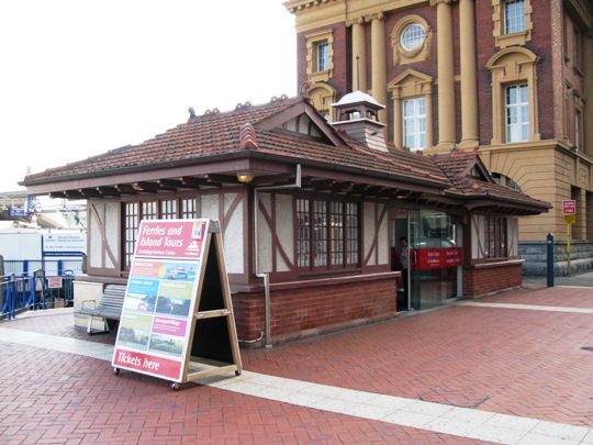
Notes from the NZHPT Register Database (not included in the registration report): Buildings & structures in Auckland harbour area. Extends along harbour side of Quay St, from Marsden Wharf to harbour basin. Includes eastern ferry tee; Ferry building; Quay St landings; Eastern & Western public shelters; wharf gates & fences; Princes wharf; western viaduct; Launchmans building; Port building; harbour board workshops.
Notes from the NZHPT Register Database (not included in the registration report): Buildings & structures in Auckland harbour area. Extends along harbour side of Quay St, from Marsden Wharf to harbour basin. Includes eastern ferry tee; Ferry building; Quay St landings; Eastern & Western public shelters; wharf gates & fences; Princes wharf; western viaduct; Launchmans building; Port building; harbour board workshops.
Historical and Associated Iwi / Hapū / Whānau
Completion Date
28th November 1992
Report Written By
NZHPT
Other Information
This area is comprised of buildings and structures constructed for the Auckland Harbour Board following the Hamer Plan of 1904. A copy of the original report is available from the NZHPT Northern region office. Please note that entry on the New Zealand Heritage List/Rarangi Korero identifies only the heritage values of the property concerned, and should not be construed as advice on the state of the property, or as a comment of its soundness or safety, including in regard to earthquake risk, safety in the event of fire, or insanitary conditions.
Former Usages
General Usage: Civic Facilities
Specific Usage: Gate
General Usage: Civic Facilities
Specific Usage: Pavilion
General Usage: Trade
Specific Usage: Office building/Offices
General Usage: Transport
Specific Usage: Bridge/ Viaduct
General Usage: Transport
Specific Usage: Wharf/Dock/ Pier/ Jetty
Location
Related listings
Sign up to hear more
Get the latest heritage news, features and events delivered
straight to your inbox.
