Quick links


Quick links
Quick links
Quick links
Quick links
Quick links
Quay St East, AUCKLAND
Public
Historic Area
List No. 7159
List Entry Information
Status
Listed
List Entry Status
Historic Area
Access
Able to Visit
List Number
7159
Date Entered
16th December 1994
Date of Effect
16th December 1994
City/District Council
Auckland Council
Region
Auckland Council
Extent of List Entry
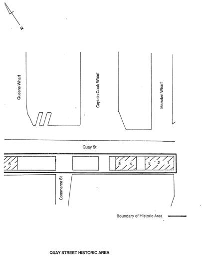
This area extends along the south side of the original settlement of Quay St East (the area east of Britomart Pl was extended and handed over to the Auckland City Council in 1914.
Status
Listed
List Entry Status
Historic Area
Access
Able to Visit
List Number
7159
Date Entered
16th December 1994
Date of Effect
16th December 1994
City/District Council
Auckland Council
Region
Auckland Council
Extent of List Entry
This area extends along the south side of the original settlement of Quay St East (the area east of Britomart Pl was extended and handed over to the Auckland City Council in 1914.
Why is this place significant?
Historic Significance
Historical Significance or Value This area has important historic associations with the development of Auckland's harbour and commercial centre at the turn of the century. It is a product of Auckland's growth in harbour trade, established after the frozen meat market made New Zealand a viable export country.
Physical Significance
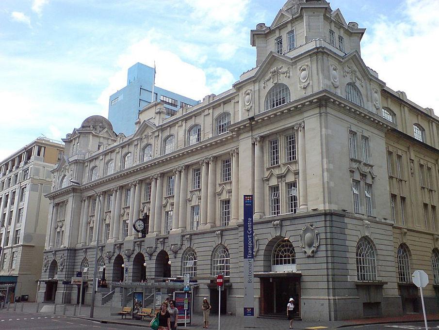
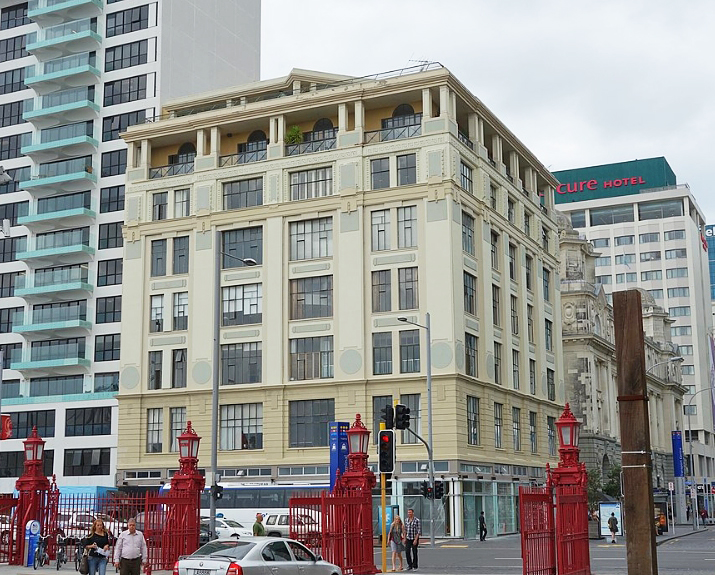
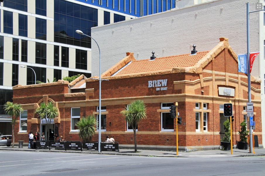
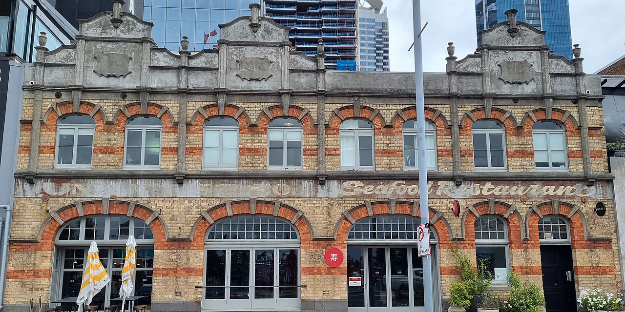
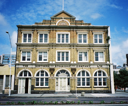
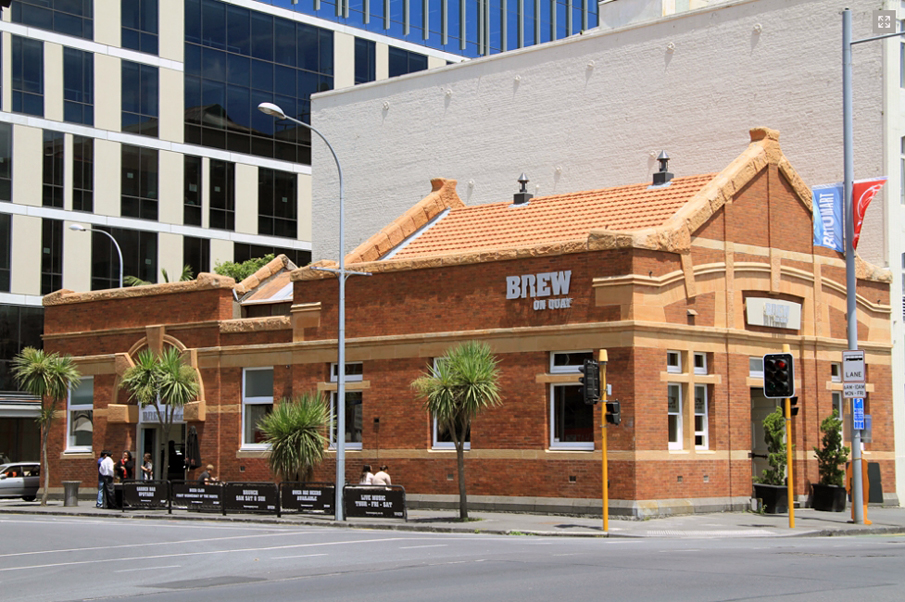
Architectural: The buildings, all constructed within a decade, are of similar scale, construction and architectural detailing and form a coherent group. These are utilitarian brick buildings characterised by arched windows, alternating keystones and little use of ornament. Used predominantly by wharf industries they help preserve the original port character of the area. Aesthetic: Together these buildings make a significant contribution to the streetscape of the port. The scale and character expressed in this group of buildings adds to the quality of the harbour area by maintaining a continuity between the early life on the Quay and the present ports of Auckland. CONCLUSION This group of mostly brick, utilitarian buildings that are all similar in scale and architectural detail represent Auckland's growth in harbour trade around the turn of the century.
Why is this place significant?
Historic Significance
Historical Significance or Value This area has important historic associations with the development of Auckland's harbour and commercial centre at the turn of the century. It is a product of Auckland's growth in harbour trade, established after the frozen meat market made New Zealand a viable export country.
Physical Significance
Architectural: The buildings, all constructed within a decade, are of similar scale, construction and architectural detailing and form a coherent group. These are utilitarian brick buildings characterised by arched windows, alternating keystones and little use of ornament. Used predominantly by wharf industries they help preserve the original port character of the area. Aesthetic: Together these buildings make a significant contribution to the streetscape of the port. The scale and character expressed in this group of buildings adds to the quality of the harbour area by maintaining a continuity between the early life on the Quay and the present ports of Auckland. CONCLUSION This group of mostly brick, utilitarian buildings that are all similar in scale and architectural detail represent Auckland's growth in harbour trade around the turn of the century.
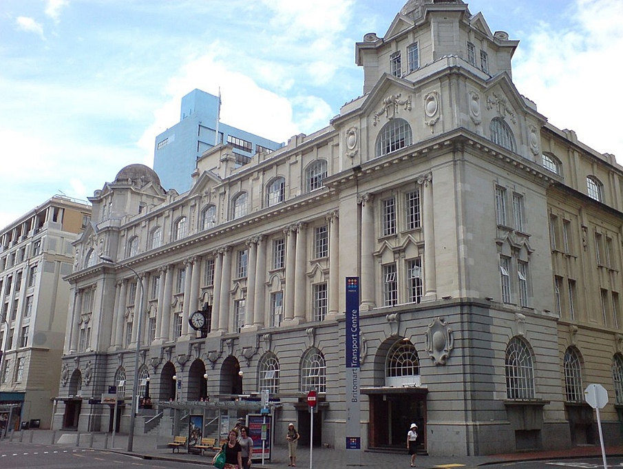
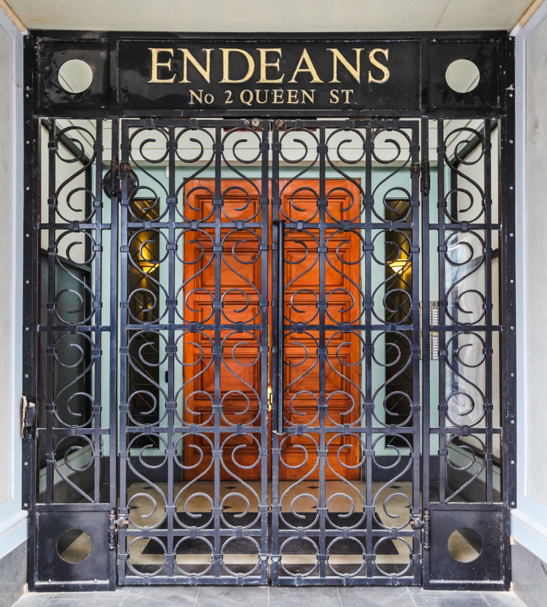
Notes from the NZHPT Register Database (not included in the registration report): South side of Quay St East. Buildings include Wharf Police building (Colonial Sugar Company); NZ Harbour Board Employees Union building; Quay building (NZ laundry Co); Union Fish Co. building; Northern Steamship Company building; Endeans building.
Notes from the NZHPT Register Database (not included in the registration report): South side of Quay St East. Buildings include Wharf Police building (Colonial Sugar Company); NZ Harbour Board Employees Union building; Quay building (NZ laundry Co); Union Fish Co. building; Northern Steamship Company building; Endeans building.
Historical and Associated Iwi / Hapū / Whānau
Completion Date
28th November 1992
Report Written By
NZHPT
Other Information
The area extends along the south side of the original segment of Quay St East (the area east of Britomart Pl was extended and handed over to the Auckland City in 1914). A full registration report is available from the NZHPT Northern Region Office. Please note that entry on the New Zealand Heritage List/Rarangi Korero identifies only the heritage values of the property concerned, and should not be construed as advice on the state of the property, or as a comment of its soundness or safety, including in regard to earthquake risk, safety in the event of fire, or insanitary conditions.
Historical and Associated Iwi / Hapū / Whānau
Completion Date
28th November 1992
Report Written By
NZHPT
Other Information
The area extends along the south side of the original segment of Quay St East (the area east of Britomart Pl was extended and handed over to the Auckland City in 1914). A full registration report is available from the NZHPT Northern Region Office. Please note that entry on the New Zealand Heritage List/Rarangi Korero identifies only the heritage values of the property concerned, and should not be construed as advice on the state of the property, or as a comment of its soundness or safety, including in regard to earthquake risk, safety in the event of fire, or insanitary conditions.
Location
Get the latest heritage news, features and events delivered
straight to your inbox.
