

French Bay is the site of the French landing in Akaroa on 19 August 1840. This was the beginning of the only settlement in New Zealand by the French.
Prior to the arrival of the settlers, the main European activity in the South Island was that of the whalers. Whaling from Banks Peninsula dates back to 1835, but port records show the use of Akaroa Harbour as a base for whalers reached its peak in 1842-44, when an average of 25 ships were stationed there at anyone time. After 1844 it became unprofitable to fish New Zealand waters, although shore-based whaling continued from some bays until 1863.
The French arrived in New Zealand in 1840 believing that Captain L'Anglois, the master of the French whaler, had purchased 30,000 acres of land in Akaroa from the local Maoris in 1838. In fact the claim had never been completed and was invalid.
The French ships called first at the Bay of Islands, the main British settlement in New Zealand, and there discovered that Britain had not only declared sovereignty over the North Island but had also claimed the South Island and Stewart Island as well. Negotiations with the British resulted in the French continuing on to Akaroa, only to find that the HMS Britomart had already arrived in French Bay on 10 August, five days ahead of the French naval corvette, the 'Aube'.
On 11 August the Captain of the Britomart, Captain Stanley, went ashore and hoisted the British flag at Green's Point, thereby confirming British sovereignty of the land. On 19 August 1840 the 57 French colonists from the 'Comte de Paris' were landed on the foreshore of Paka Ariki Bay (now French Bay). They were placed in tents, made from sail cloths of the 'Comte de Paris' and the 'Aube', erected along the foreshore the previous day. This was the first settlement by the French of the present town of Akaroa. The settlers entered into an agreement with the New Zealand government which allowed them rights to settle despite English sovereignty of the land.
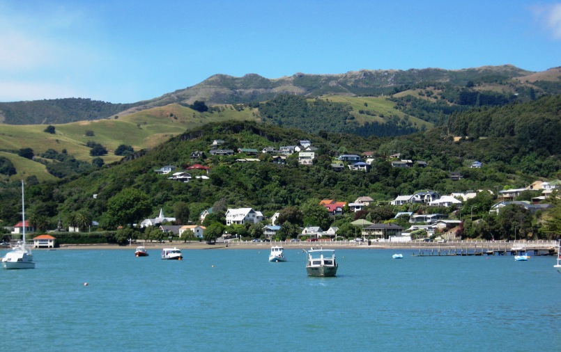
People have lived by the Akaroa waterfront since the 1840s starting with Captain William Barnard Rhodes who landed 40 cattle at Red House Bay in 1839 establishing the first cattle station in the South Island. Akaroa's isolation, relative lack of flat hinterland and low population density have saved the waterfront from large scale development. No large reclamations and wharves have changed the shoreline as they did in other major South Island port centres. The relationship between Akaroa's shoreline and its anchorages have remained relatively undisturbed by development.
List Entry Information
Status
Listed
List Entry Status
Historic Area
Access
Private/No Public Access
List Number
7330
Date Entered
6th September 1996
Date of Effect
6th September 1996
City/District Council
Christchurch City
Region
Canterbury Region
Extent of List Entry
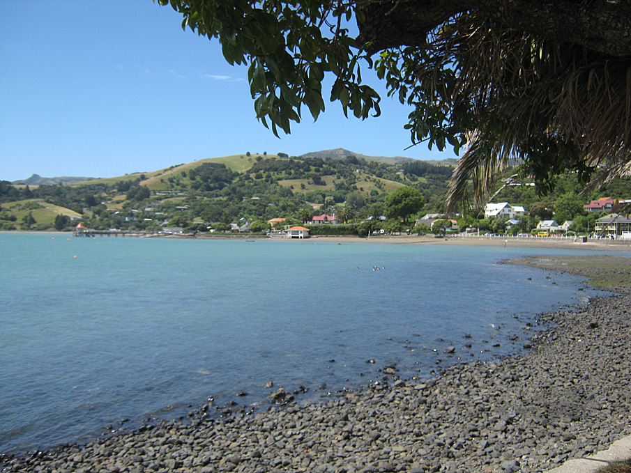
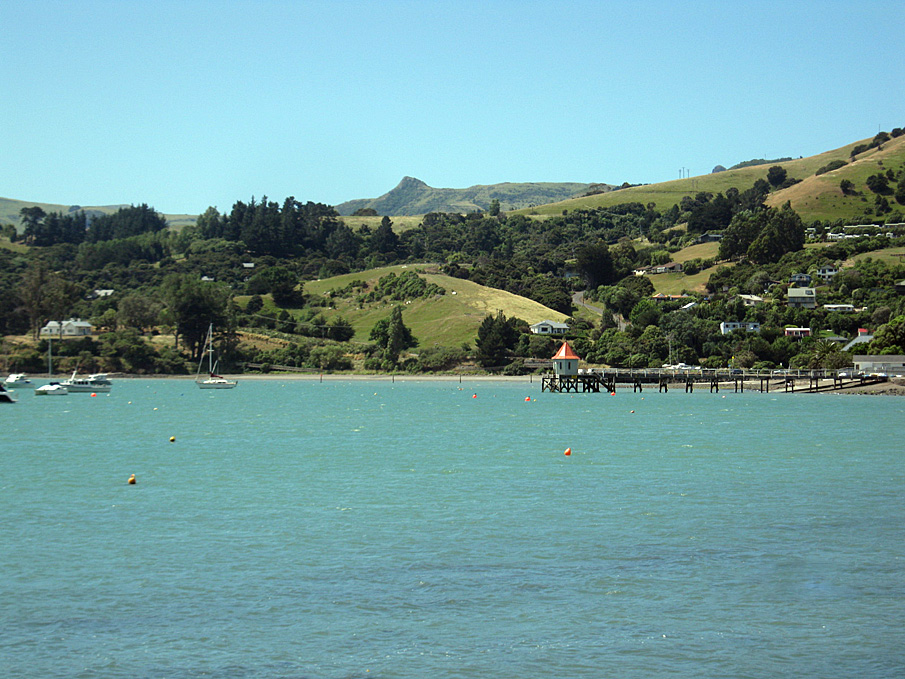
The area comprises the foreshore of French Bay (from Rue Brittain) inclusive of Red House Bay, Akaroa. The area encompasses the road reserve which runs around the foreshore, including the area 300m out from the high tide mark. Where the road reserve no longer follows the coast the area continues at an equivalent width of the road reserve or for those properties in private ownership 300m out to sea from the legal boundaries.
Status
Listed
List Entry Status
Historic Area
Access
Private/No Public Access
List Number
7330
Date Entered
6th September 1996
Date of Effect
6th September 1996
City/District Council
Christchurch City
Region
Canterbury Region
Extent of List Entry
The area comprises the foreshore of French Bay (from Rue Brittain) inclusive of Red House Bay, Akaroa. The area encompasses the road reserve which runs around the foreshore, including the area 300m out from the high tide mark. Where the road reserve no longer follows the coast the area continues at an equivalent width of the road reserve or for those properties in private ownership 300m out to sea from the legal boundaries.
Why is this place significant?
Cultural Significance
This historic area was registered under the Historic Places Act 1993. The following text is from the original Recommendation for Registration report considered by the NZHPT Board at the time of registration. Cultural/Spiritual: There are many cultural and spiritual associations connected with Akaroa. The most significant of these are the Ngati Toa massacre of Kai Tahu and the French/English imperial clash. Te Rauparaha, the Nanto-Bordelaise Company and the French Navy (which had a ship on station for 6 years) feature in the history of the area and add to the mystique of this settlement.
Historic Significance
Historical Significance or Value This historic area was registered under the Historic Places Act 1993. The following text is from the original Recommendation for Registration report considered by the NZHPT Board at the time of registration. Historical: Akaroa is an important pre-colonial/early colonial contact place and its foreshore has a long history of human activity. Maori had long ago established a settlement at Takapuneke (Red House Bay) and had been supplying European traders from the 1820s. A Ngati Toa war party under Te Rauparaha's lead attacked the settlement in November 1830, massacring between 100 and 200 people. The bays were later the focus of attention as European colonisation got under way. People have lived near the Akaroa waterfront since the 1840s. The Akaroa Waterfront including French Bay and Red House Bay is an important pre-colonial and early colonial contact place, and is particularly noted for its connection with Te Rauparaha's massacre of the Ngati Tahu people, and the later settlement of the area by the French.
Physical Significance
This historic area was registered under the Historic Places Act 1993. The following text is from the original Recommendation for Registration report considered by the NZHPT Board at the time of registration. Archaeological: The events on the Akaroa Waterfront predate 1900, and as such define the area an archaeological site. The waterfront has associations with people, events and ideas of importance. Most of these take on an archaeological context as they relate to events which occurred pre-1900. It is possible, though unlikely through the sea action, that there would be any physical material associated with the French landing of 1840, or with the previous activities associated with Maori and European settlers.
Historical and Associated Iwi / Hapū / Whānau
Information Sources
Ogilvie, 1990
G. Ogilvie, Banks Peninsula; the Cradle of Canterbury, GP Books, 1990
Tremewan, 1990
P.Tremewan, French Akaroa: An attempt to colonise southern New Zealand. Christchurch,1990 [University of Canterbury Press, with the Historical Branch of the Department of Internal Affairs]
Other Information
A copy of the original report is available from the NZHPT Southern region office Please note that entry on the New Zealand Heritage List/Rarangi Korero identifies only the heritage values of the property concerned, and should not be construed as advice on the state of the property, or as a comment of its soundness or safety, including in regard to earthquake risk, safety in the event of fire, or insanitary conditions. This historic area was registered under the Historic Places Act 1993. The following text is from the original Recommendation for Registration report considered by the NZHPT Board at the time of registration.
Former Usages
General Usage: Maori
Specific Usage: Site of historical event
General Usage: Transport
Specific Usage: Harbour
Themes
Of Significance to Maori
Former Usages
General Usage: Maori
Specific Usage: Site of historical event
General Usage: Transport
Specific Usage: Harbour
Themes
Of Significance to Maori
Location

Sign up to hear more
Get the latest heritage news, features and events delivered
straight to your inbox.
