

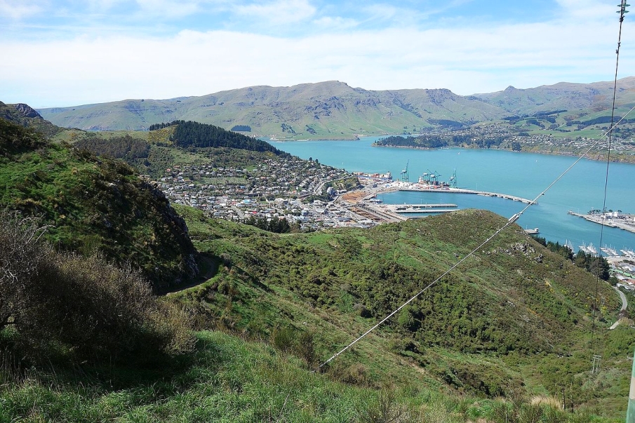
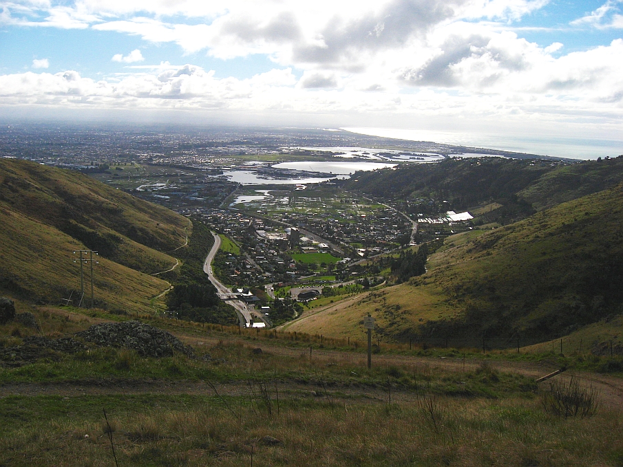
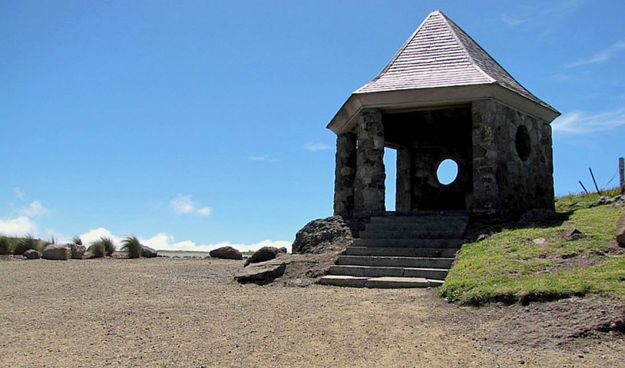
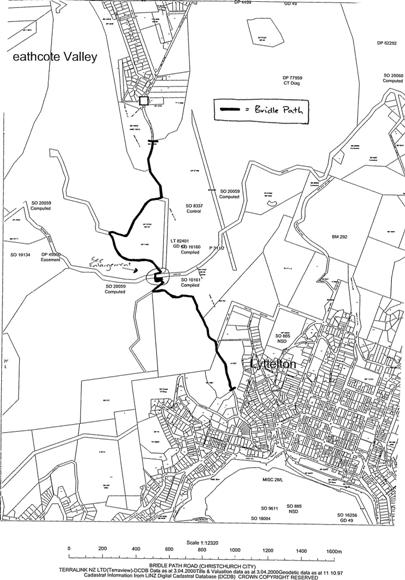
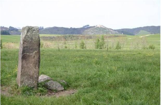
The Bridle Path was the route used by the first settlers to traverse the Port Hills from Lyttelton to the settlement of Christchurch. It extends from Lyttelton up to the Summit Rd and then down into Heathcote Valley where it meets with the Bridle Path Rd at the Tunnel Road portal. It was formed in haste in 1850, as the road over Evans Pass to Sumner was not completed. The early settlers' first view of the Canterbury Plains and the site for Christchurch after the long sea journey was from the summit of the Bridle Path. Along the path are a number of seats named to commemorate the First Four Ships that brought the first European settlers to Canterbury, a memorial cross, memorials to pioneer women, two WWII strong points (sentry boxes) and entrance markers at both ends of the path. Since the 1970s there have been discussions about changing of classification of the Bridle Path from a legal road to a scenic or historic reserve. However, despite support from both the former Heathcote and Lyttelton County Councils and the Department of Conservation, the status of the path has remained unchanged. The path can still be lawfully used by trail bikes due to its legal road status. The condition of the path has continued to deteriorate on the Heathcote valley side primarily due to the high level and type of use. However, restoration works during 2000 have improved the safety of the path. Other restoration work, sponsored by local businesses and families, has seen repairs made to some of the seats en route.
Location
List Entry Information
Overview
Detailed List Entry
Status
Listed
List Entry Status
Historic Area
Access
Able to Visit
List Number
7483
Date Entered
4th April 2001
Date of Effect
4th April 2001
City/District Council
Christchurch City
Region
Canterbury Region
Extent of List Entry
The Bridle Path is an unsealed track that extends from the Lyttelton Bridle Path Entrance Marker (Map Ref 15) over Port Hills, crossing the Summit Road (Map Refs 6 & 8) and descending down the Heathcote side to the Bridle Path Entrance marked by a stone wall and sign (Map Ref 1). The Historic Area includes: the path itself, being the legal road of width 1 chain or 20.12 metres (for practical purposes measured as 10 metres from the centre of the path); the Canterbury Pioneer Womens Memorial Historic Purposes Reserve; and those 14 items identified at the end of this report and referenced on the accompanying map in the registration report.. The area comprises the path/track and monuments (seats, memorial shelter and wayside cross) en route from the entrance at Lyttelton over the Port Hills to Heathcote.
Legal description
Legal road & Canterbury Womens Pioneer Memorial Historic Purposes Reserve RES 4478 SO 8915

Stay up to date with Heritage this month
