

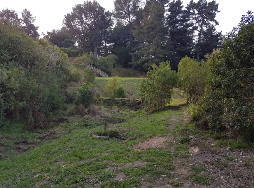
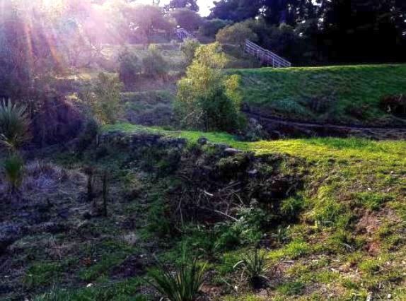
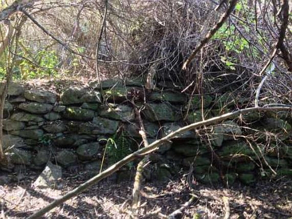
The Stoddart Weirs at Stoddart Point, Diamond Harbour, were constructed in 1862 by early Pākehā settler Mark Stoddart to provide a reliable water supply for his stock and horticultural business. The weirs have archaeological and historical significance or value. Mark Stoddart arrived in New Zealand with 2,000 sheep in 1851. The following year he purchased a 50-acre headland in the Diamond Harbour area where he established a sheep farm and a horticultural business, which he expanded to 361 acres by 1862. Stock water was needed, and Stoddart constructed two weirs in a natural gully on his property to create a pond providing a reliable water supply for his expansive vegetable gardens and orchards. The upper weir was constructed using locally sourced volcanic rocks, and was sufficiently wide to drive a horse and cart across the gully. The lower weir was constructed of earth and stone, and served as a dam only to create a water reservoir. In 1913 the Lyttelton Borough Council purchased part of Stoddart’s estate and an area of 40 acres was set aside as a public reserve. The land southwest of the gully was levelled and Diamond Harbour Domain sports grounds were established. The upper weir was breached at its northern end in around 1945 with a two metre wide gap to drain the pond that had become a nuisance with the change of use of the surrounding land. In the summer of 2002 to 2003 members of the Diamond Harbour and Districts Historical Association cleared the vegetation around the upper of the two weirs, which had become completely overgrown by that stage. A similar exercise took place in 2015 but in November 2019 the weirs were once again overgrown.
Location
List Entry Information
Overview
Detailed List Entry
Status
Listed
List Entry Status
Historic Place Category 2
Access
Private/No Public Access
List Number
9074
Date Entered
8th August 2020
Date of Effect
9th September 2020
City/District Council
Christchurch City
Region
Canterbury Region
Extent of List Entry
Extent includes part of the land described as Lot 11 DP 304811 (RT 19087) and Pt Lot 5 DP 14050 (RT 225280, NZ Gazette, 2006, p. 736), Canterbury Land District and the structures known as the Stoddart Weirs thereon. (Refer to map in Appendix 1 of the List entry report for further information).
Legal description
Lot 11 DP 304811 (RT 19087) and Pt Lot 5 DP 14050 (RT 225280, NZ Gazette, 2006, p. 736), Canterbury Land District.
Location Description
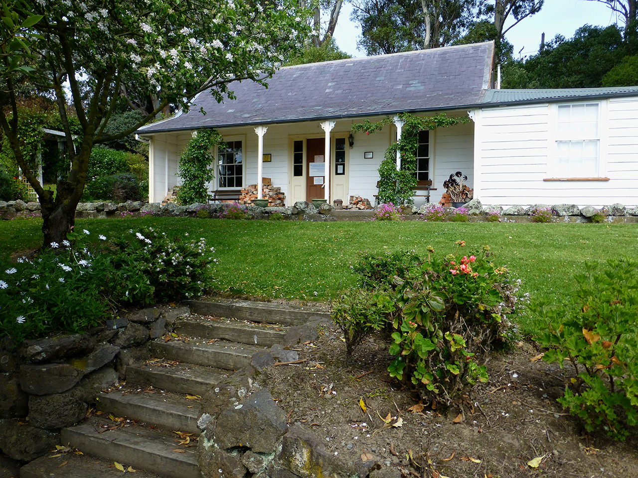
Additional Location Information The weirs are situated in a natural gully north of the Diamond Harbour rugby grounds, immediately below the Diamond Harbour cemetery. South of the rugby fields is Stoddart cottage and the foundation remains of the Godley House are west of the gully. The coordinates of the upper weir are: easting northing Northern point 1579152 5169802 Southern point 1579160 5169797 The coordinates of the lower weir are: easting northing Northern point 1579219 5169815 Southern point 1579228 5169810
Stay up to date with Heritage this month
