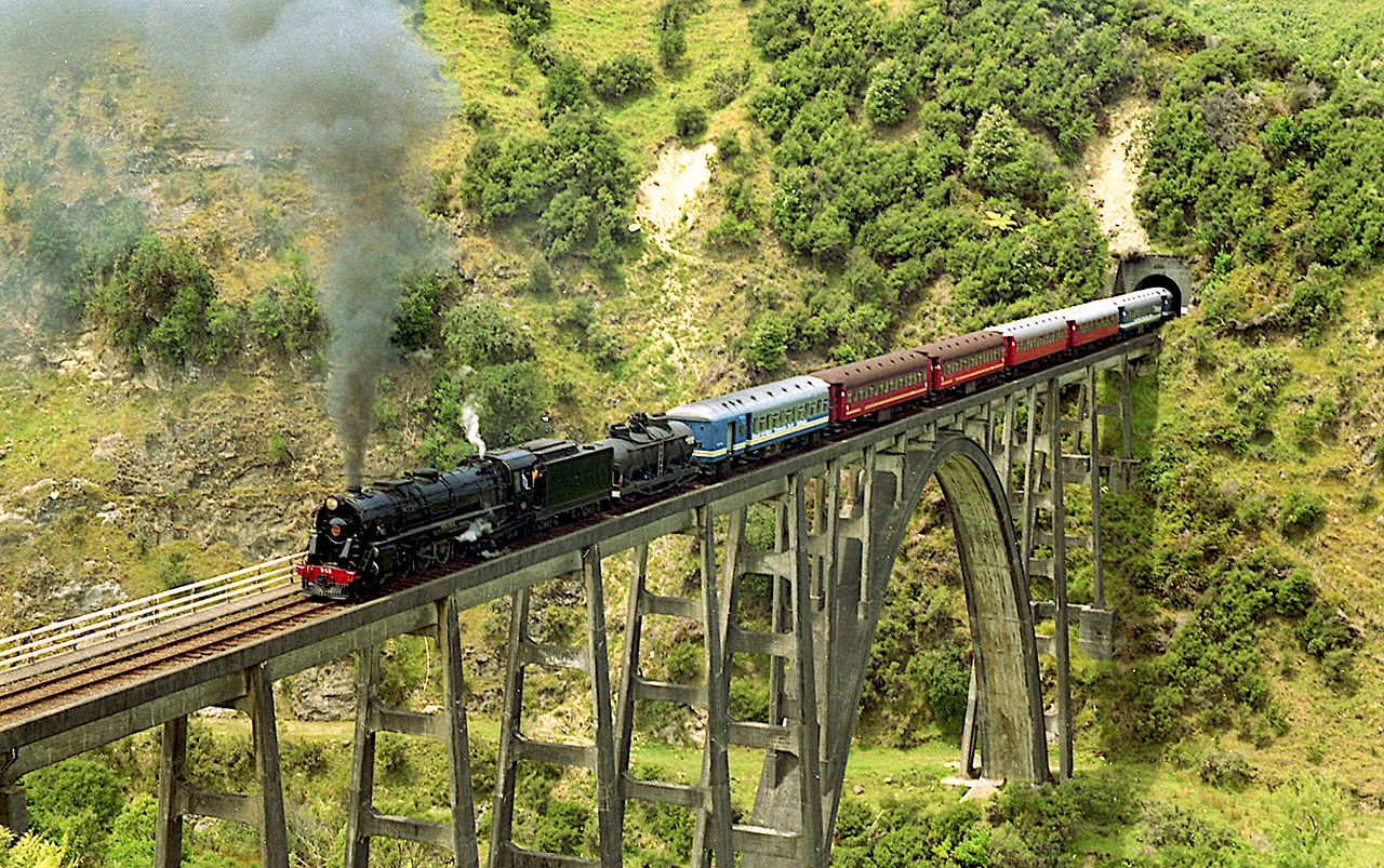
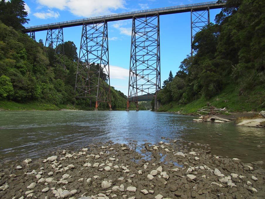
The completion of the Matahorua Viaduct, near Matahorua, in 1928 was an important milestone in the story of the Napier to Gisborne Railway, which is valued because of its regional historic and social significance. There were many engineering difficulties for the Public Works Department (PWD) to overcome to complete the railway and the Matahorua Gorge, with its challenging landscape and geology, was a notable obstacle. The resulting impressive steel viaduct, visually accessible from the region’s main highway, has historically also been appreciated for its aesthetic values.
A railway linking Napier, Wairoa and then onto Gisborne was proposed in the early twentieth century and constructed between 1911 and 1942. Along with the Waikoau Viaduct, the Matahorua Viaduct was within the Putorino Section constructed between 1925 and 1930. In 1940 the railway’s story was described as ‘an epic one’ because arguably ‘no road or rail construction in New Zealand has had more setbacks’. The First World War was the first of several factors which delayed construction.
At a height of 65 metres above the Matahorua Stream, the viaduct consists of concrete abutments, and two plate girders (12.2 and 18.5 metres each) each side of a central Pratt truss (76.2 metres). The bridge has no mid-span piers. PWD trains were using the viaduct by the close of 1928. Said to be one of the railway’s ‘notable engineering feats’, the Matahorua Viaduct was an important step towards the railway’s long-awaited completion, but various circumstances meant the patience of locals would be stretched further.
Within a few years, considerable remediation was required at the viaduct because of the destructive 1931 Hawke’s Bay Earthquake. In general, the Napier to Putorino portion of the railway ‘suffered most severely’. Along with fixing the viaduct’s damaged steelwork, the sides of the gorge required engineering work to knit together cracks caused by the quake, especially on the bridge’s northern side. The earthquake damage to this and other parts of the railway, along with the economic conditions of the time, influenced the government’s decision to halt the railway's construction until 1936.
The ‘imposing structure’ was visible from below to motorists using State Highway 2, until the early twenty-first century, when the road was realigned and a new road bridge was constructed alongside the Matahorua Viaduct. While this provides a sense of the structure’s scale, it is arguably more dynamic and impressive when viewed from below. The railway was closed to traffic in 2012 after a wash-out further north and work to reopen it was nearing completion in early 2019.
A railway linking Napier, Wairoa and then onto Gisborne was proposed in the early twentieth century and constructed between 1911 and 1942. Along with the Waikoau Viaduct, the Matahorua Viaduct was within the Putorino Section constructed between 1925 and 1930. In 1940 the railway’s story was described as ‘an epic one’ because arguably ‘no road or rail construction in New Zealand has had more setbacks’. The First World War was the first of several factors which delayed construction.
At a height of 65 metres above the Matahorua Stream, the viaduct consists of concrete abutments, and two plate girders (12.2 and 18.5 metres each) each side of a central Pratt truss (76.2 metres). The bridge has no mid-span piers. PWD trains were using the viaduct by the close of 1928. Said to be one of the railway’s ‘notable engineering feats’, the Matahorua Viaduct was an important step towards the railway’s long-awaited completion, but various circumstances meant the patience of locals would be stretched further.
Within a few years, considerable remediation was required at the viaduct because of the destructive 1931 Hawke’s Bay Earthquake. In general, the Napier to Putorino portion of the railway ‘suffered most severely’. Along with fixing the viaduct’s damaged steelwork, the sides of the gorge required engineering work to knit together cracks caused by the quake, especially on the bridge’s northern side. The earthquake damage to this and other parts of the railway, along with the economic conditions of the time, influenced the government’s decision to halt the railway's construction until 1936.
The ‘imposing structure’ was visible from below to motorists using State Highway 2, until the early twenty-first century, when the road was realigned and a new road bridge was constructed alongside the Matahorua Viaduct. While this provides a sense of the structure’s scale, it is arguably more dynamic and impressive when viewed from below. The railway was closed to traffic in 2012 after a wash-out further north and work to reopen it was nearing completion in early 2019.
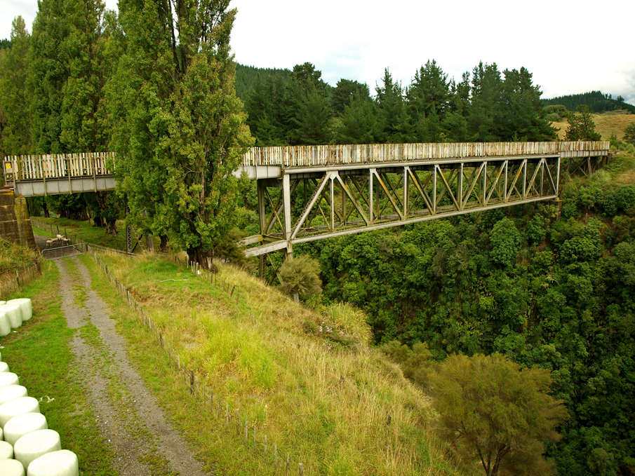
Matahorua Viaduct, Matahorua Gorge. Image courtesy of www.flickr.com | Joe Wallace | 11/03/2017 | Joe Wallace
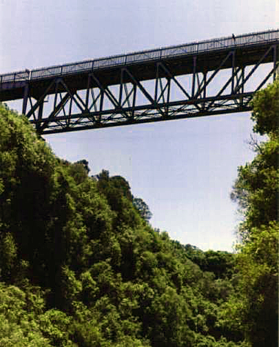
Matahorua Viaduct, Matahorua Gorge | Heritage New Zealand Pouhere Taonga
Matahorua Viaduct, Matahorua Gorge. Image courtesy of www.flickr.com | Joe Wallace | 11/03/2017 | Joe Wallace
Matahorua Viaduct, Matahorua Gorge | Heritage New Zealand Pouhere Taonga