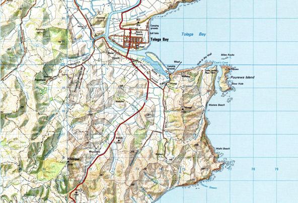
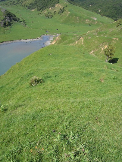
Archaeological site Z17/311 dates to the earliest period of New Zealand's prehistory (14-15th century AD), referred to by archaeologists as the 'Archaic period'. Whilst originally recorded as a midden ('refuse heap' containing prehistoric food remains), recent archaeological excavations at the site have in fact revealed a very significant discovery - the remains of an early Maori village. The site is located at Cook's Cove to the southeast of Tolaga Bay.
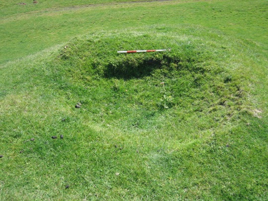
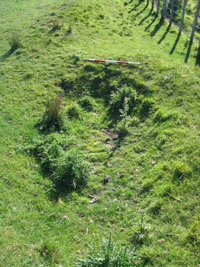
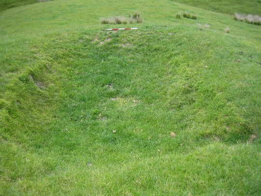
Midden site Z17/311 is one of the many archaeological sites that have been recorded in the Tolaga Bay area. These sites include pit and terrace complexes, pa, gardens and urupa, all of which reflect the intensive occupation of this landscape since the earliest prehistoric period. Access to abundant food resources from the sea, rivers, inland forests and horticultural production (kumara) meant that a large population could be sustained. It has been estimated that the early Maori population of Tolaga Bay totalled approximately 1200, and the main iwi was Te Aitanga a Hauiti.
Midden site Z17/311 was first recorded by archaeologist Kevin Jones in 1983, during his archaeological survey work in the Whangara, Tolaga Bay and Uawa Catchment areas in 1982-1983. This survey work was undertaken to gain information about the nature of prehistoric settlement in this locality, and also to evaluate specific sites for registration under the Historic Places Act 1980. The site has subsequently been monitored at periodic intervals by archaeologists concerned about erosion, and was revisited in 1999 by archaeologist Vanessa Tanner as part of the New Zealand Archaeological Association Site Recording Scheme Upgrade Project.
Concerns over the long-term future of the site recently led to a salvage excavation to retrieve important archaeological information before it was lost to natural erosion processes. This excavation was undertaken in November 2007, and was co-directed by the Historic Places Trust and University of Otago, in partnership with local iwi Te Aitanga a Hauiti. This excavation revealed that the southern bank of Cook's Cove was once the site of an early Maori village, potentially dating to the 14th - early 15th century AD.
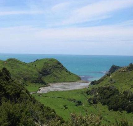
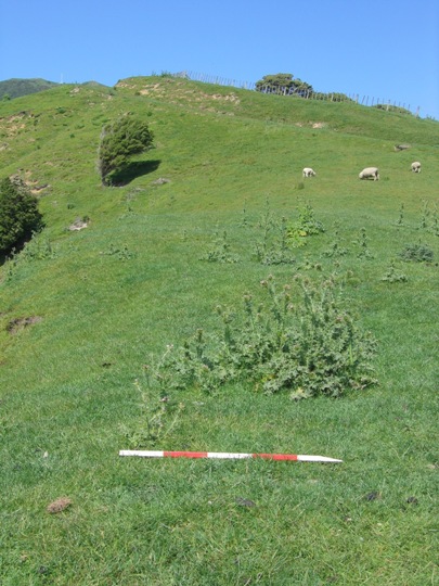
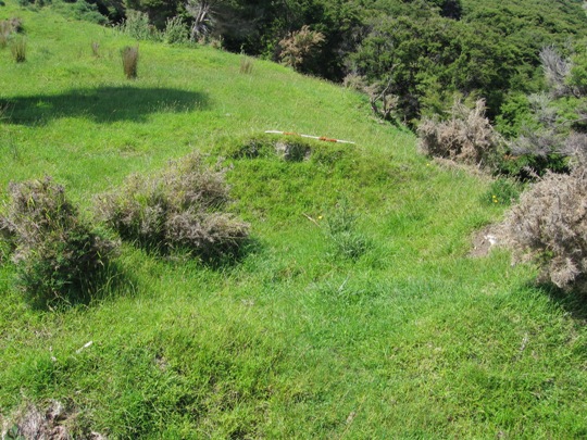
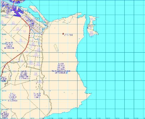
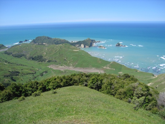
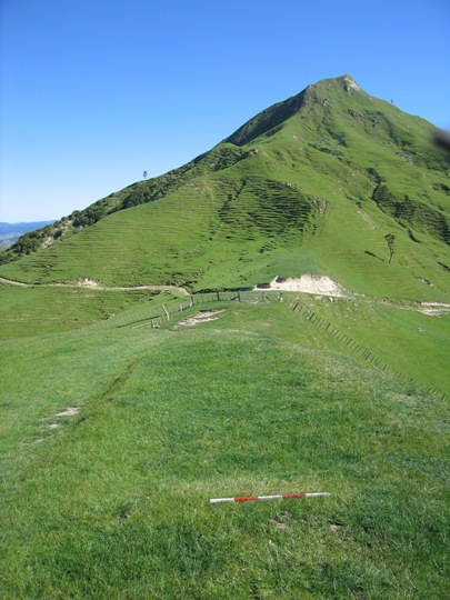
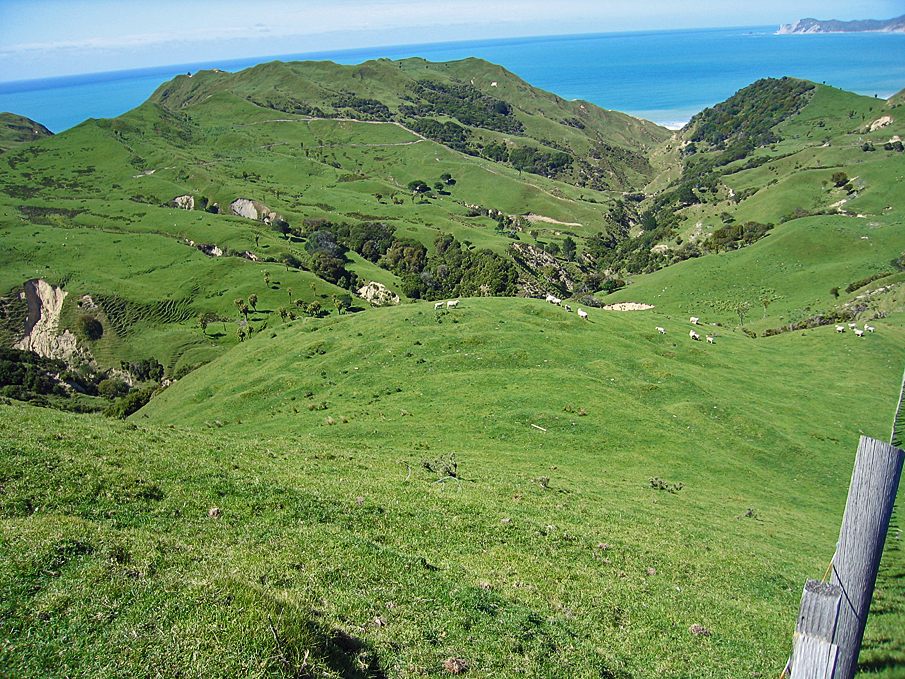
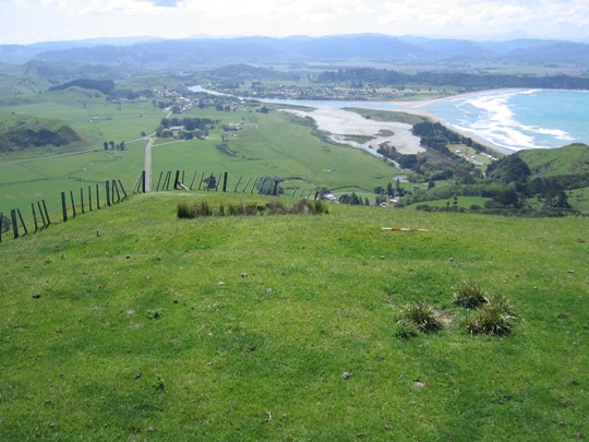
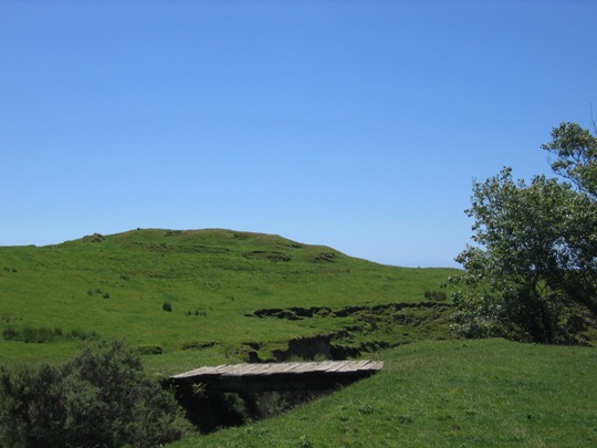
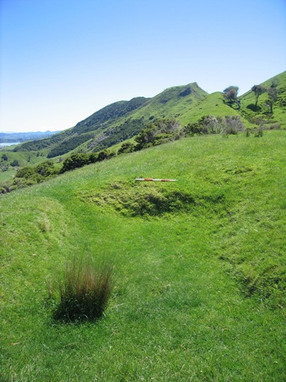
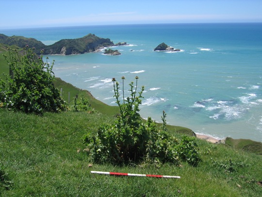
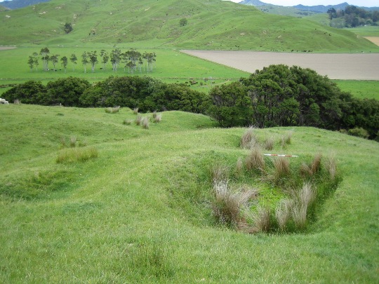
Midden site Z17/311 is located within an exposed coastal environment on the southern bank of Cook's Cove, at the northern end of Titirangi Station. It is visible along the edge of the bank and extends into the terrace behind, which is currently in pasture. Te Kararoa pa (Z17/310) is located directly opposite on the northern side of Cook's Cove, and several kumara storage pits sites can be found nearby.
When first recorded in 1983, archaeologist Kevin Jones observed two distinct layers of midden, separated by a layer of Loisel's pumice (a distinct type of pumice from an underwater eruption off the North Island's northeast coast approximately 600 years ago) and a thick layer of sandy/ eroded fill. . Jones noted that the site was being actively eroded by wave activity and had also been subject to 'minor fossicking'.
The midden was revisited by the New Zealand Historic Places Trust in November 2007, and whilst considerable erosion of the bank had occurred, two distinct cultural layers were still clearly visible along the edge, appearing as dark bands with archaeological material such as crushed and whole shells, charcoal and stone flakes.
Further detailed information about the site is provided by the preliminary findings of the recent archaeological excavation, which was underway at the time of the New Zealand Historic Places Trust visit. This excavation revealed that the two cultural layers visible in the exposed bank extend some way back into the terrace, and represent two separate phases of Archaic-period Maori occupation. The upper layer (Layer 3) was a darkened layer containing mostly crushed shell, with some whole specimens of Cook's Turban. Animal, bird and fish bones were recovered from this layer, and a cooking oven was located just below the layer in excavation unit O11-West, which contained two moa bone fish hooks. The layer probably dates to the late 15th century AD/
The bottom layer (Layer 5), also known as the 'village layer', contained a number of intact features, with several cooking ovens and a series of post holes associated with a house. The midden included shellfish, fish bone, moa bone, and the skeleton of a large sea mammal. Typical 'early Archaic' artefacts such as a minnow lure and one piece fish hook made from moa bone were also recovered from the layer, which is thought to date to the early 14th century AD. In terms of the overall extent of the site, testing during the course of the excavation revealed that it extends 25 metres to the south of the excavated area, and approximately 5 - 7 metres to the east.
The midden (Z17/311) at Cook's Cove has very high archaeological value. Artefacts recovered during a recent archaeological investigation, moa bone and the presence of Loisel's pumice all indicate that the site was occupied by Maori during the earliest period of New Zealand's history (c 14th - early 15th century AD). Sites from the early Archaic period are scarce along the North Island's East Coast, and this site is particularly significant within a wider archaeological context, as it one of the few to contain archaeological remains of a house. From a cultural and traditional perspective, the site is of considerable cultural and traditional value to Te Aitanga a Hauiti, providing a tangible link to the lives of their early tipuna.
Midden site Z17/311 is one of the many archaeological sites that have been recorded in the Tolaga Bay area. These sites include pit and terrace complexes, pa, gardens and urupa, all of which reflect the intensive occupation of this landscape since the earliest prehistoric period. Access to abundant food resources from the sea, rivers, inland forests and horticultural production (kumara) meant that a large population could be sustained. It has been estimated that the early Maori population of Tolaga Bay totalled approximately 1200, and the main iwi was Te Aitanga a Hauiti.
Midden site Z17/311 was first recorded by archaeologist Kevin Jones in 1983, during his archaeological survey work in the Whangara, Tolaga Bay and Uawa Catchment areas in 1982-1983. This survey work was undertaken to gain information about the nature of prehistoric settlement in this locality, and also to evaluate specific sites for registration under the Historic Places Act 1980. The site has subsequently been monitored at periodic intervals by archaeologists concerned about erosion, and was revisited in 1999 by archaeologist Vanessa Tanner as part of the New Zealand Archaeological Association Site Recording Scheme Upgrade Project.
Concerns over the long-term future of the site recently led to a salvage excavation to retrieve important archaeological information before it was lost to natural erosion processes. This excavation was undertaken in November 2007, and was co-directed by the Historic Places Trust and University of Otago, in partnership with local iwi Te Aitanga a Hauiti. This excavation revealed that the southern bank of Cook's Cove was once the site of an early Maori village, potentially dating to the 14th - early 15th century AD.
Midden site Z17/311 is located within an exposed coastal environment on the southern bank of Cook's Cove, at the northern end of Titirangi Station. It is visible along the edge of the bank and extends into the terrace behind, which is currently in pasture. Te Kararoa pa (Z17/310) is located directly opposite on the northern side of Cook's Cove, and several kumara storage pits sites can be found nearby.
When first recorded in 1983, archaeologist Kevin Jones observed two distinct layers of midden, separated by a layer of Loisel's pumice (a distinct type of pumice from an underwater eruption off the North Island's northeast coast approximately 600 years ago) and a thick layer of sandy/ eroded fill. . Jones noted that the site was being actively eroded by wave activity and had also been subject to 'minor fossicking'.
The midden was revisited by the New Zealand Historic Places Trust in November 2007, and whilst considerable erosion of the bank had occurred, two distinct cultural layers were still clearly visible along the edge, appearing as dark bands with archaeological material such as crushed and whole shells, charcoal and stone flakes.
Further detailed information about the site is provided by the preliminary findings of the recent archaeological excavation, which was underway at the time of the New Zealand Historic Places Trust visit. This excavation revealed that the two cultural layers visible in the exposed bank extend some way back into the terrace, and represent two separate phases of Archaic-period Maori occupation. The upper layer (Layer 3) was a darkened layer containing mostly crushed shell, with some whole specimens of Cook's Turban. Animal, bird and fish bones were recovered from this layer, and a cooking oven was located just below the layer in excavation unit O11-West, which contained two moa bone fish hooks. The layer probably dates to the late 15th century AD/
The bottom layer (Layer 5), also known as the 'village layer', contained a number of intact features, with several cooking ovens and a series of post holes associated with a house. The midden included shellfish, fish bone, moa bone, and the skeleton of a large sea mammal. Typical 'early Archaic' artefacts such as a minnow lure and one piece fish hook made from moa bone were also recovered from the layer, which is thought to date to the early 14th century AD. In terms of the overall extent of the site, testing during the course of the excavation revealed that it extends 25 metres to the south of the excavated area, and approximately 5 - 7 metres to the east.
The midden (Z17/311) at Cook's Cove has very high archaeological value. Artefacts recovered during a recent archaeological investigation, moa bone and the presence of Loisel's pumice all indicate that the site was occupied by Maori during the earliest period of New Zealand's history (c 14th - early 15th century AD). Sites from the early Archaic period are scarce along the North Island's East Coast, and this site is particularly significant within a wider archaeological context, as it one of the few to contain archaeological remains of a house. From a cultural and traditional perspective, the site is of considerable cultural and traditional value to Te Aitanga a Hauiti, providing a tangible link to the lives of their early tipuna.